
Toroa Consulting works at the intersection of science, policy and community. We turn climate and hazard science into strategies that institutions can act on — helping territorial authorities design risk reduction and adaptation frameworks, build gender-responsive warning systems, and ensure that community knowledge shapes emergency planning from the start, not as an afterthought.
Toroa — the Māori name for the great albatross — is a bird that travels thousands of kilometres by reading wind, pressure and sea state with precision. We built our practice on the same idea: read the signals early, act before the storm arrives.
Toroa Consulting is a specialist advisory practice in hydrometeorological and geohazard early warning, founded and led by Dr Phil Mourot, a senior geophysicist with more than 25 years designing and operating early warning systems across France, New Zealand, and Indonesia. We have designed an implemented over 60 MHEWS systems for floods, cyclones, landslides and debris flows and assist emergency teams in live crises, including the response to Cyclone Gabrielle in 2023.
We work where meteorology, hydrology, engineering, It system, sociology and public policy meet. Our role is rarely just technical: we translate research into operational practice, align national institutions around a shared system, and leave behind teams that can run and improve it long after we have gone.
To translate climate science, hazard intelligence and community knowledge into warning systems and adaptation strategies that are rigorous, gender-responsive and locally owned — so vulnerable communities and the sectors they depend on can anticipate, prepare for and adapt to an uncertain climate.
A region where every hazard that can be forecast is forecast, every forecast reaches the people it concerns, and every warning leads to a protective action.
People-centred and co-designed. Evidence over assumption. Best-effort rigour, full documentation, and systems handed over copyright-free and owned by the national services who run them.
We work for the institutions that carry responsibility for warnings, and for the operators and funders whose people and assets are exposed.
NMHS forecasting agencies modernising observation, forecasting and warning chains to international standards (WIS2, GBON, CDMS) and impact-based methods.
National disaster management offices and civil protection agencies designing anticipatory action, emergency procedures and multi-hazard preparedness.
AFD, the EU, World Bank, Green Climate Fund and development banks needing independent expertise to scope, design, supervise and assure resilience programmes.
Regional commissions and basin organisations coordinating cross-border data exchange, shared alerting and harmonised early warning infrastructure.
Municipalities, water and energy utilities, and port authorities integrating hazard forecasts into operational decisions and continuity planning.
Agriculture, fisheries, tourism, aviation, maritime, health and insurance operators who need weather and climate intelligence translated into action.
From the science of the hazard to the software that broadcasts the alert, and the institutions that act on it — we cover the whole chain, or the single link you need.
End-to-end architecture of impact-based forecast and early warning systems (MH-IBF-EWS): from concept and requirements to operational 24/7 monitoring and dissemination.
Catchment delineation, hydrological and hydraulic models, scenario-based (Type A) and real-time calibrated (Type B) forecasting, alert thresholds and propagation tools.
Exposure, vulnerability, impact and risk mapping with spatial data and models, feeding decision-support tools, hazard matrices and preparedness plans.
Machine-learning and deep-learning forecasting for floods and landslides, real-time data pipelines, and the translation of research into operational, monitored tools.
24/7 emergency response, coordination with civil protection and government, and live hazard analysis during cyclones, floods and rapid-onset events.
Leadership of multi-disciplinary teams and consortia, multi-country programmes valued to €4.5M, plus training from community level to government ministries, in French and English.
Rapid-onset hazards collapse the time between detection and impact. We design the monitoring, thresholds and pre-designed scenario so the decision is already made before the storm makes landfall.
Hydrometeorological hazards are growing in frequency and intensity, while the gap between what can be forecast and what reaches people stays wide. These are the pressures our clients navigate — and where we focus.
Tropical cyclones, flash and riverine floods, droughts, storm surge, marine heatwaves and rising seas are arriving more often and harder. Historical records and deterministic models increasingly under-represent what is now physically possible.
A hazard is not a risk until it meets exposure and vulnerability. Many agencies still issue threshold alerts ("50mm of rain") rather than impact warnings ("these neighbourhoods will flood"). The missing layer is current exposure and vulnerability data.
Too many systems collapse when the project ends and the consultants leave. Real resilience is local ownership — institutions, data-sharing agreements, maintenance budgets and trained staff that outlast any single programme.
Forecasts only reduce loss if they trigger pre-agreed action. Designing the rules — who acts, at what threshold, with what funds — before the event is the heart of anticipatory action, yet it is the part most often left undefined.
A warning that doesn't reach the right person, in the right language, on a channel they trust, fails. Standardised, machine-and-human-readable alerting (CAP) across SMS, radio, TV, apps and VHF is still patchy, and the last mile is the hardest stretch.
Early warning has to live inside national adaptation plans, DRR frameworks and sector policy to be funded and sustained. Bridging operational forecasters and the policy-and-finance world is a persistent institutional challenge.
Each service is delivered standalone or as part of an end-to-end programme. Everything is documented, validated, and — where it is a system — owned outright by the client.
Our deliverables run in production. A flood forecast becomes a discharge curve crossing a calibrated threshold; a threshold crossing becomes a colour-coded alert with a measured lead time; an alert becomes a CAP message dispatched across every channel that reaches the people at risk — all in one supervised, documented system your team operates.
Design of the central multi-hazard impact-based forecasting platform consolidating hazard, vulnerability and impact data for 24/7 monitoring, analysis and dissemination — architecture, data flows, interfaces and integration with regional infrastructure.
Purpose-built flood early-warning module: catchment delineation, real-time data integration, intelligent mapping and adaptive thresholds, with a wireframed operational interface, mimic diagrams and full functional documentation.
Field-validated hazard, vulnerability and risk maps per site in OGC-compliant geospatial formats (GeoJSON, GPKG, WMS, WFS), with hazard matrices, calibration reports and gender-sensitive vulnerability analysis.
Scenario-based or real-time calibrated flood forecasting models, parameterised and calibrated against measured events, with documented uncertainty, update frequency, user guides and administration documentation.
Common Alerting Protocol implementation: machine- and human-readable, multilingual, multi-channel (SMS, app, radio, TV, web, VHF), geospatially targeted and severity-structured, interoperable with national systems and regional WIS2.
Modular training across four actor groups — technical forecasters, sectoral planners, intermediaries (NGOs, Red Cross) and end-users — through factory trainings, workshops, on-site coaching and MOOC modules, with gender-inclusive design throughout.
The Weather Climate Information System layer: sector-specific advisories, thresholds and decision-support tools that translate hazard intelligence into operational action for agriculture, fisheries, tourism and beyond.
Independent scoping, design studies, technical supervision, quality assurance and team leadership for multi-country resilience programmes — including alignment to funder resilience indicators and national adaptation and DRR policy.
Confidence starts with clarity.
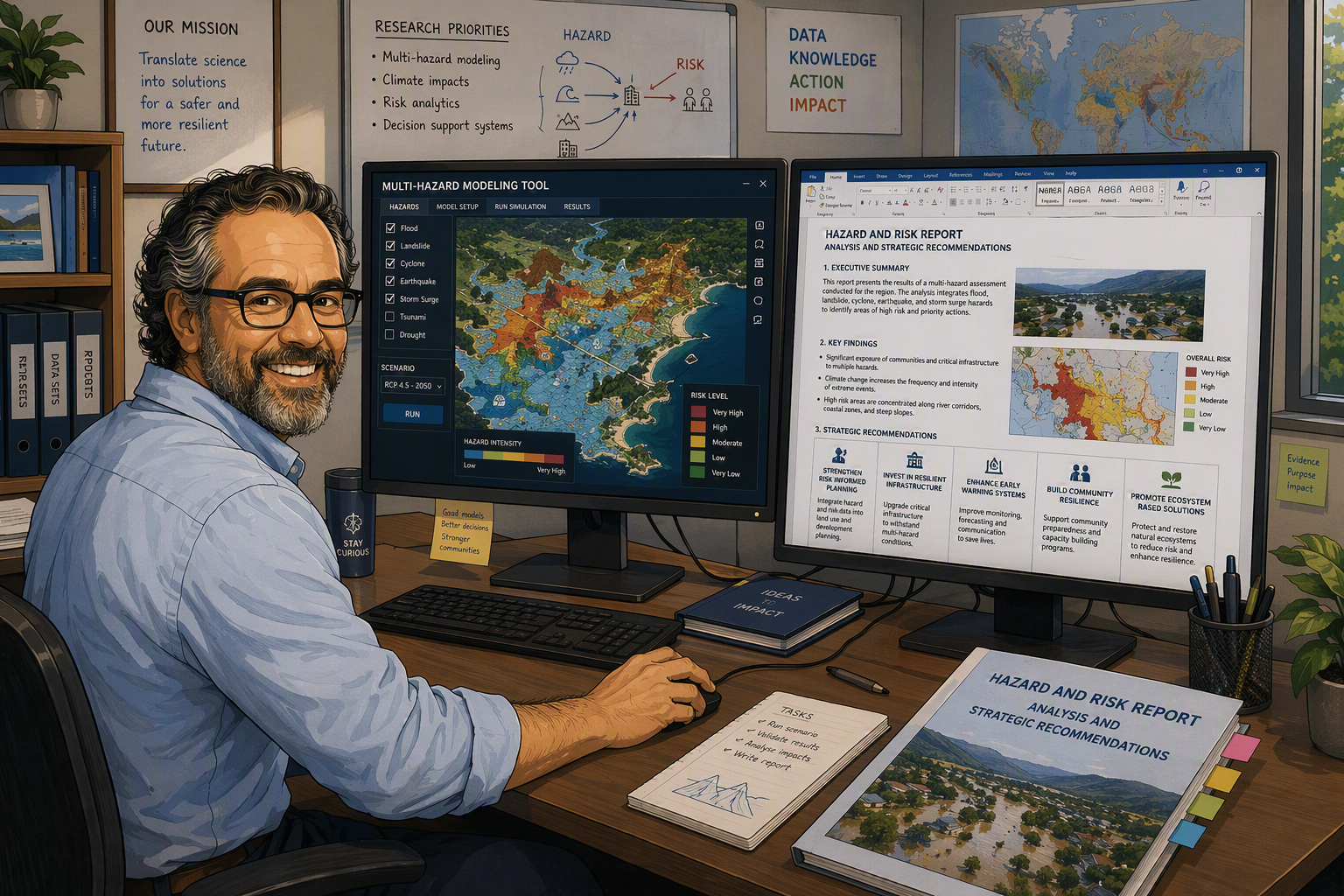
Toroa consultants decode complex hazards into sharp, actionable insight — mapping risks, quantifying vulnerabilities, and building decision-support tools that cut through uncertainty. Dashboards. Early warnings. Risk maps that make sense. We don't just deliver data — we equip stakeholders to act decisively, manage risk, and stay ahead of what's coming.
The same forecast means different things to a farmer, a fisher and a hotel manager. We translate hazard intelligence into the specific decisions each sector makes — and the value it unlocks.
Every engagement is governed by a transparent Service Level Agreement that defines scope, deliverables, response times and ownership — so expectations are explicit from day one.
We map the hazard, the institutions, the existing data and the gap. Out of it comes a costed scope and a design study you own.
Models, maps, platform and alerting are built with your team — participatory, field-validated, never delivered over a wall.
The system goes live with on-site coaching and modular training, so your staff run it from the first real event.
Copyright-free ownership transfers to you, with documentation, calibration roadmaps and an SLA for ongoing support if you want it.
From hydrometeorological models to last-mile warning, from climate projections to national adaptation plans — we translate across the full chain, so nothing is lost between the forecast and the response.
The gap is between the model and the decision. We work at that interface — turning hazard intelligence into warning systems, climate projections into adaptation strategies, and risk assessments into policies that protect the people most exposed.
contact@toroaconsult.com